Docs Build
The map editor
Add and move locations on the map, choose how the map looks, and export it as an image or a PDF.
The toolbar
#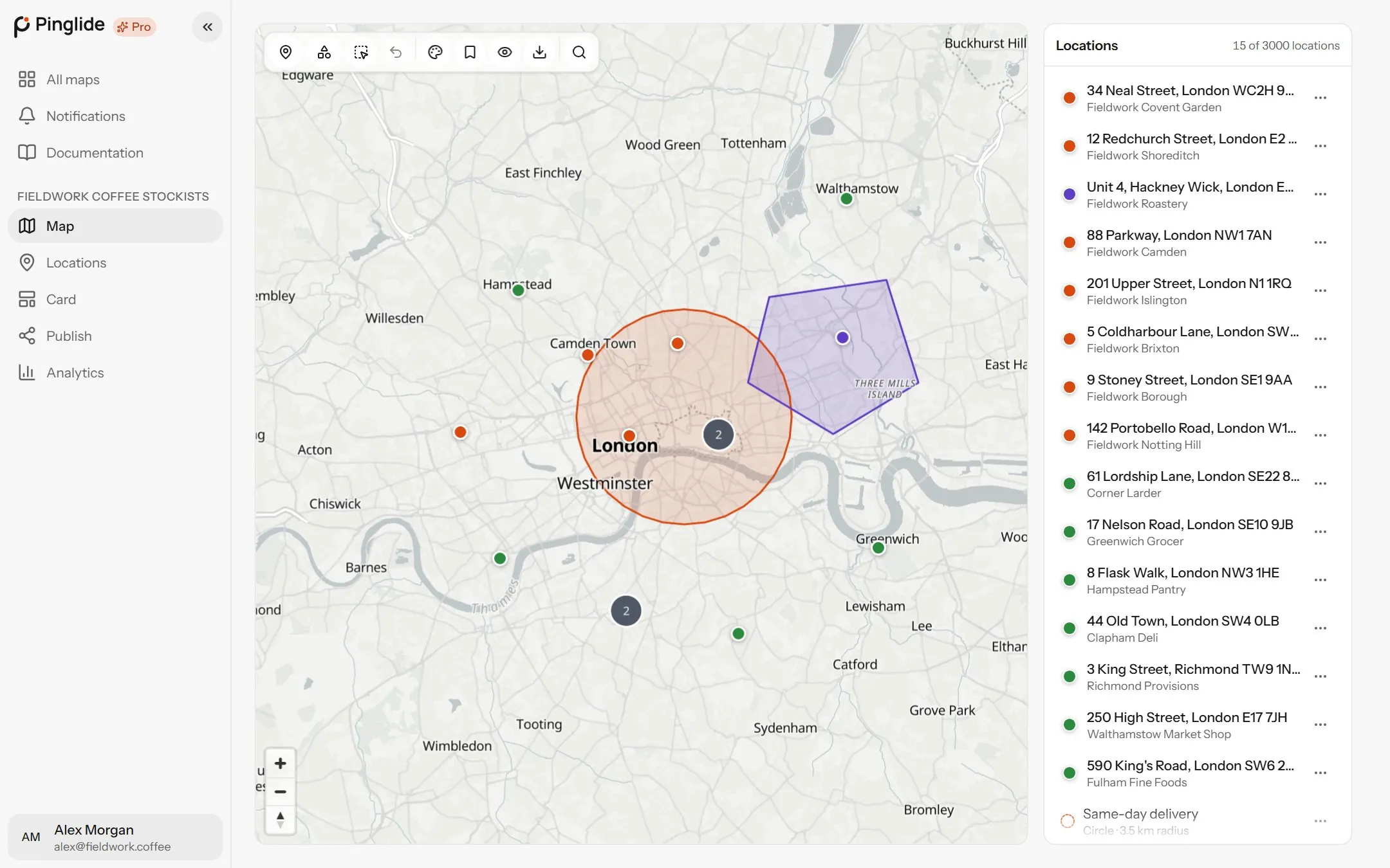
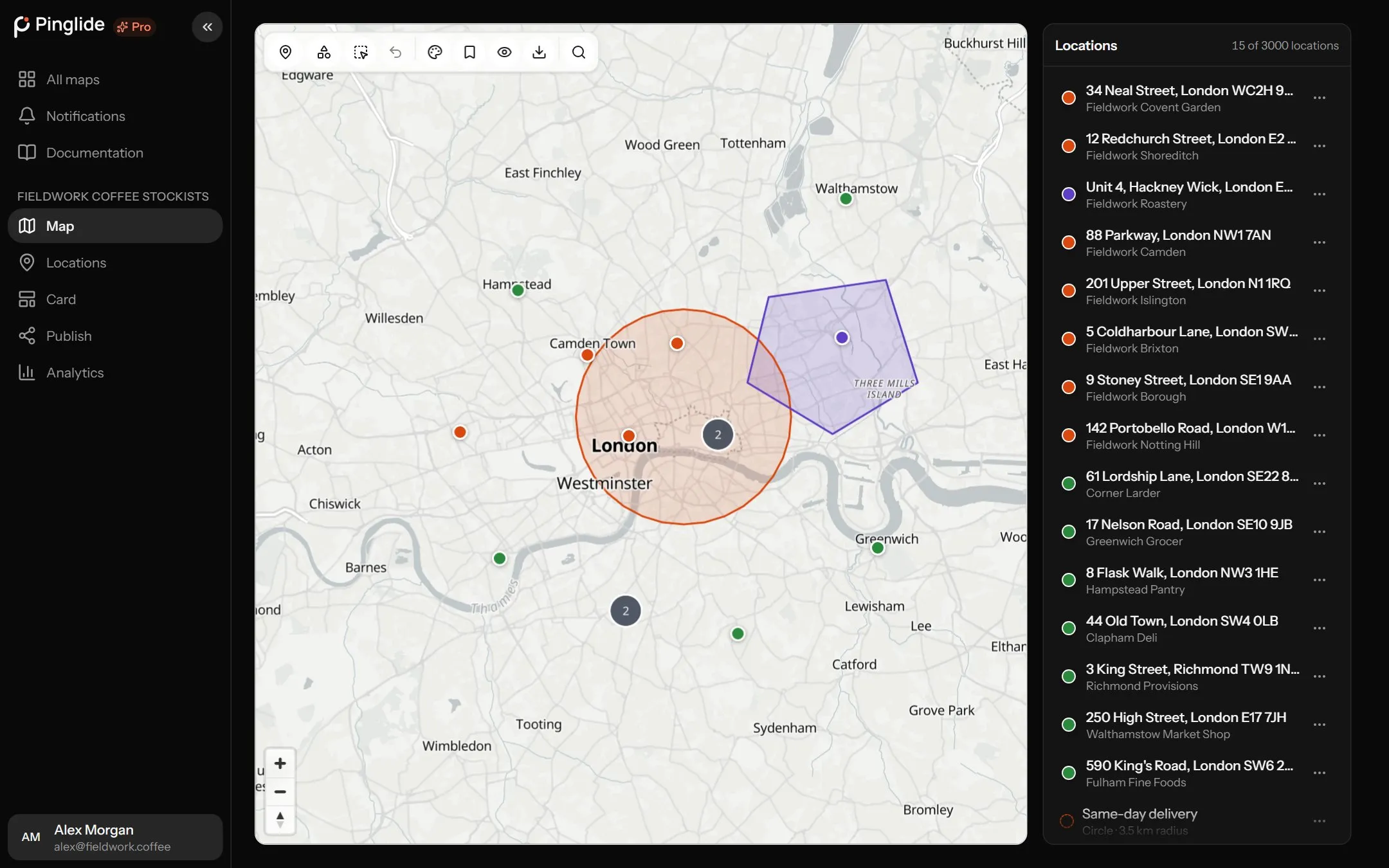
The Map tab shows your map with a toolbar across the top and your locations beside it. From left to right:
| Button | What it does |
|---|---|
| Pin | Adds a location: pick from its grid of pins, or drag it onto the map. |
| Shapes | Draws a circle, area, line or route, or imports shapes. See Shapes and routes. |
| Select several | Drag a box to pick several locations and shapes at once. |
| Undo | Undoes the last pin you moved. Ctrl+Z, or ⌘Z on a Mac. |
| Map appearance | The map style, how many labels it shows, and which layers are drawn. |
| Save this view as default | Makes the current position and zoom where the published map opens. |
| Preview as a visitor | Opens the map the way a visitor will see it. |
| Export this map | Saves the map as a PNG, JPEG or PDF. |
| Find an address | Searches for an address and moves the map there. |
Adding locations
#Three ways:
Click to place
Press the pin button, choose a pin — Plain, a built-in one or one of yours — and click where the location is. Esc stops.
Drag to place
Drag the pin button, or any pin in its grid, onto the map.
Search to place
Type an address into Find an address, press Enter, then Add a location here beside a match.
A new location is called Location 1, Location 2 and so on, and its address fills in a moment later (or reads Couldn’t find an address). Rename it and fill in the rest from its card or Edit location.
Each pin you drop uses one lookup from your monthly allowance. See What counts as a lookup.
Moving locations
#Drag any pin to move it; it saves when you let go. Undo, or Ctrl+Z (⌘Z), puts it back. Pins can’t be dragged while a drawing tool is on — press Esc first.
Working on several at once
#Select
Press Select several and drag a box around locations and shapes. Esc stops.
Act on the selection
Group puts them in a group (Merge if already grouped), Tag adds or removes a tag on all of them, and Clear ends the selection.
How the map looks
#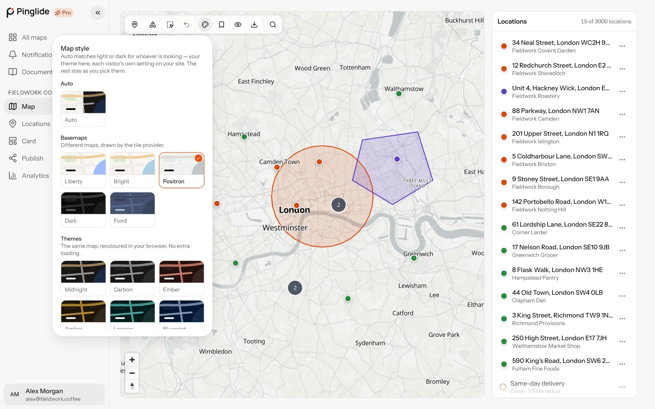
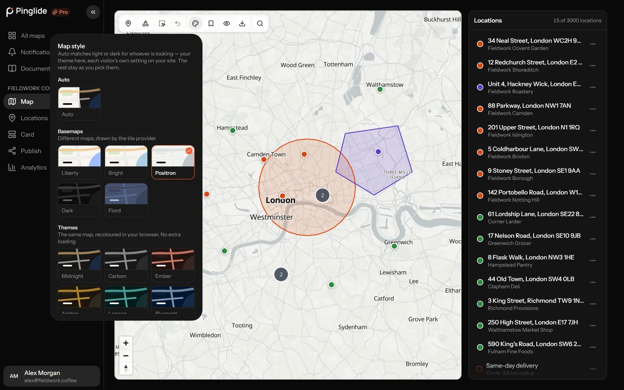
Press Map appearance. Changes save at once and reach your site when you next publish.
| Group | Styles | About them |
|---|---|---|
| Auto | Auto | Light or dark to match each viewer’s own setting. The default. |
| Basemaps | Liberty, Bright, Positron, Dark, Fiord | Different maps, drawn by the tile provider. |
| Themes | Midnight, Carbon, Ember, Amber, Lagoon, Blueprint, Mono, Sepia, Verdant, Frost | The same map, recoloured. The first six dark, the last four light. |
Labels: All labels, Fewer labels (place names and airports) or No labels. Your pins keep their names either way.
Layers: Points of interest, Railways and transit, Buildings, 3D buildings, Paths and pedestrian streets and Cycle paths — all but cycle paths on to begin with. Turning off points of interest keeps attention on your locations.
There is no live traffic or satellite imagery: both are charged per map view, and your maps have unlimited views.
Where the map opens
#Pan and zoom to where visitors should start, press Save this view as default, then publish again.
Exporting an image or PDF
#Press Export this map, choose the options below, and press Export. The file is made in your browser.
| Option | Choices |
|---|---|
| Format | PNG, JPEG or PDF. |
| Page | Same shape as the map, A4 or Letter (landscape or portrait), or A3 landscape. |
| Quality | Screen (slides, web), Good (sharp on retina displays) or Print (full detail). |
The map credit is drawn into the image. Too big for the browser? Choose a lower quality. Still loading? Wait a moment and try again.